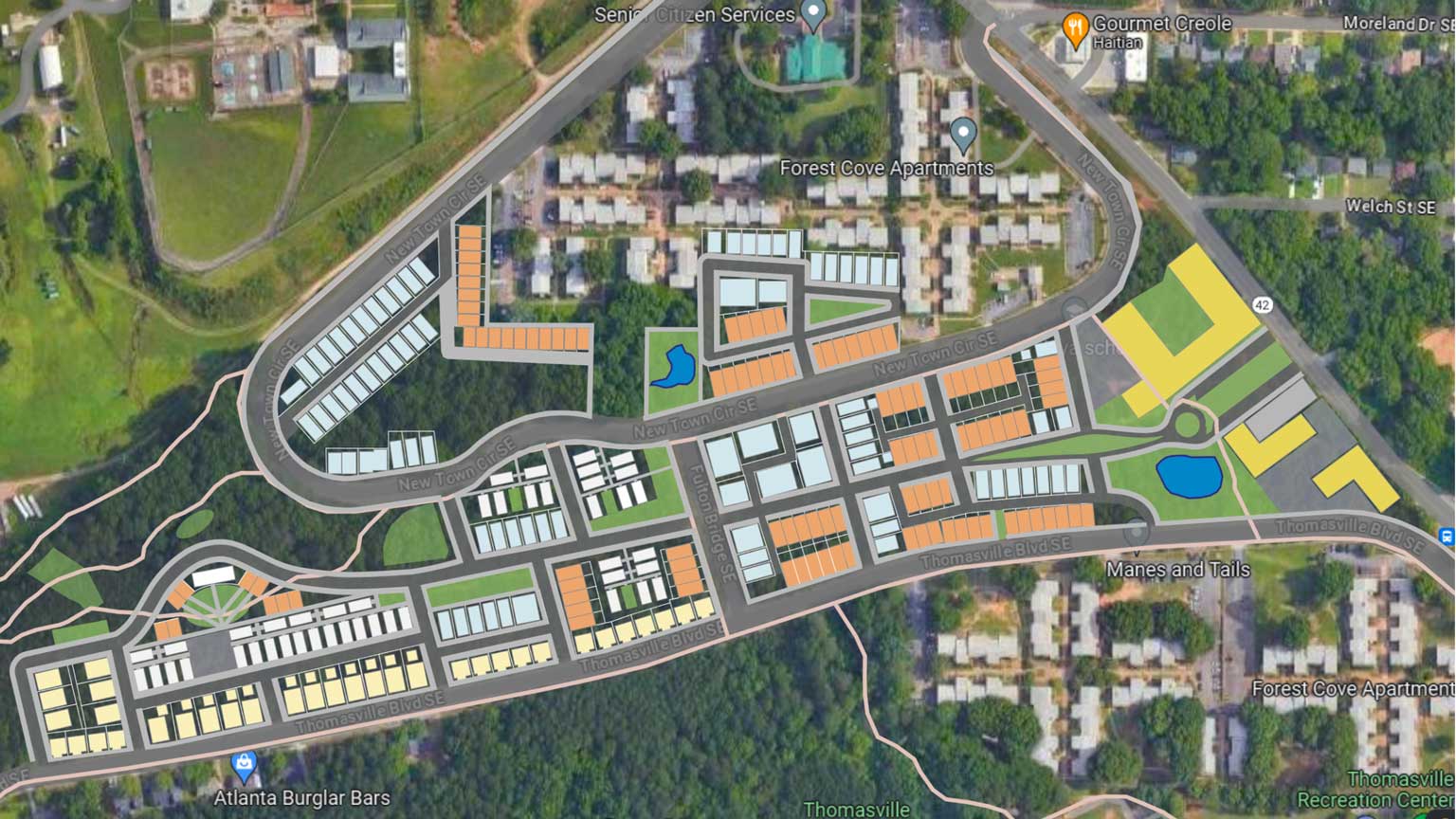
01
Orthomosaic & Aerial Mapping
Survey-grade spatial intelligence delivered through photogrammetry and remote sensing, tailored to your engineering requirements.
Learn more
NDAA-compliant, Blue/Green-capable drones. FAA Part 107 certified. FAA Category 3 approved to fly over people and active roads, no waiver needed. Aerial mapping, LiDAR, and cinematic capture for engineers, contractors, and municipalities.

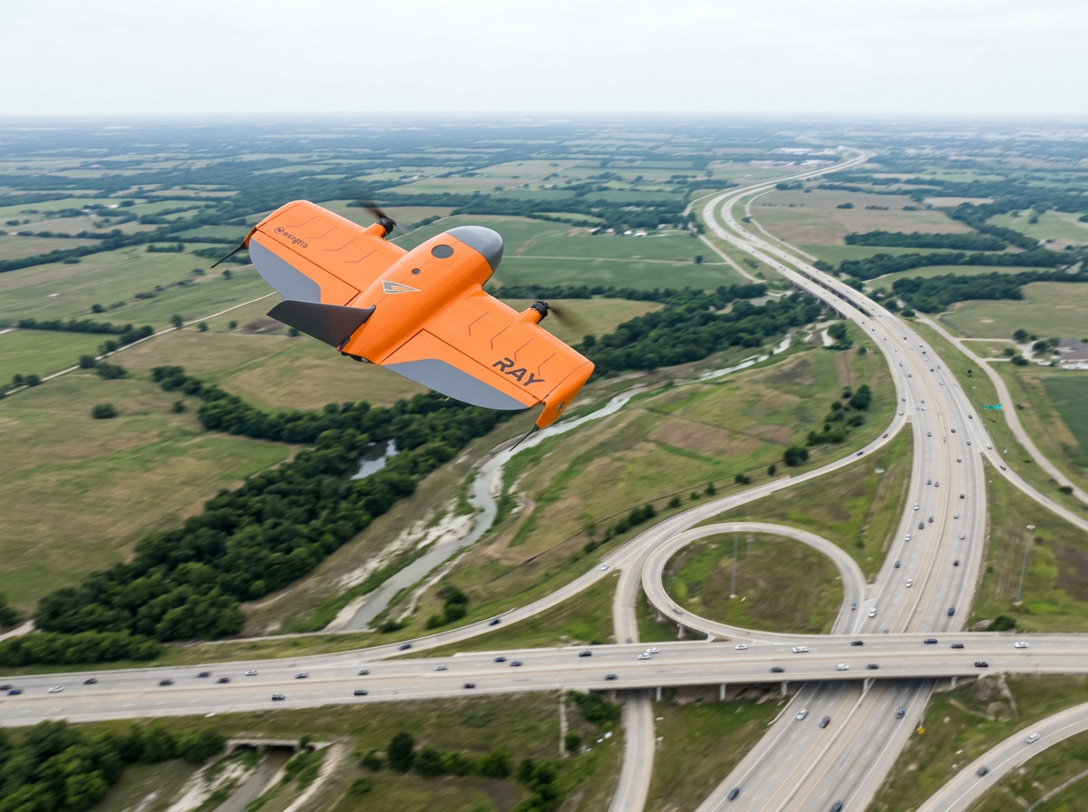
Our flagship airframe is a vertical-takeoff fixed-wing platform that maps up to 1,360 acres in one flight. Entire construction corridors, subdivisions, and municipal sites come off the board in a single mission, at survey-grade accuracy, with nothing left to guess.
A 61 MP full-frame sensor, RTK/PPK positioning, and 59 minutes of endurance turn large-area projects into a compact workflow you can run on repeat. If a multirotor cannot hold the site, the Ray still has it mapped before lunch.
Explore the gearSurvey-grade spatial intelligence delivered through photogrammetry and remote sensing, tailored to your engineering requirements.
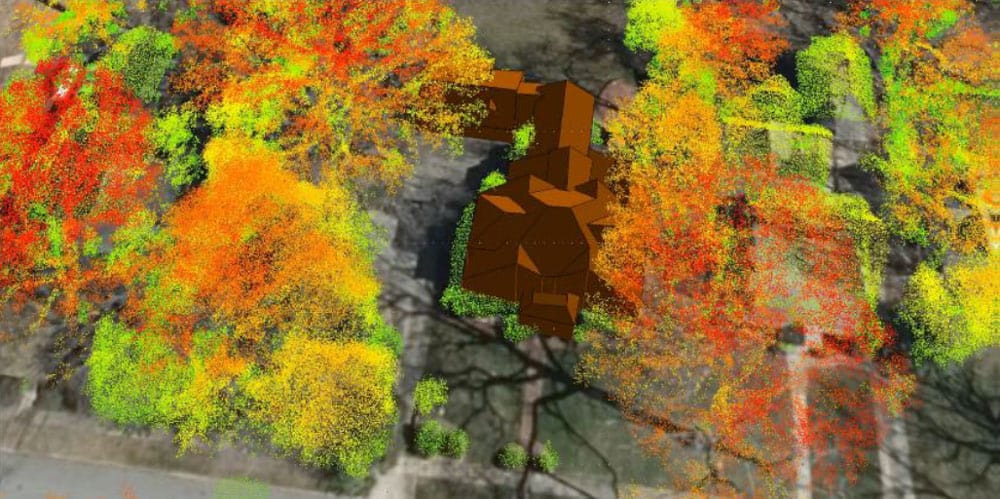
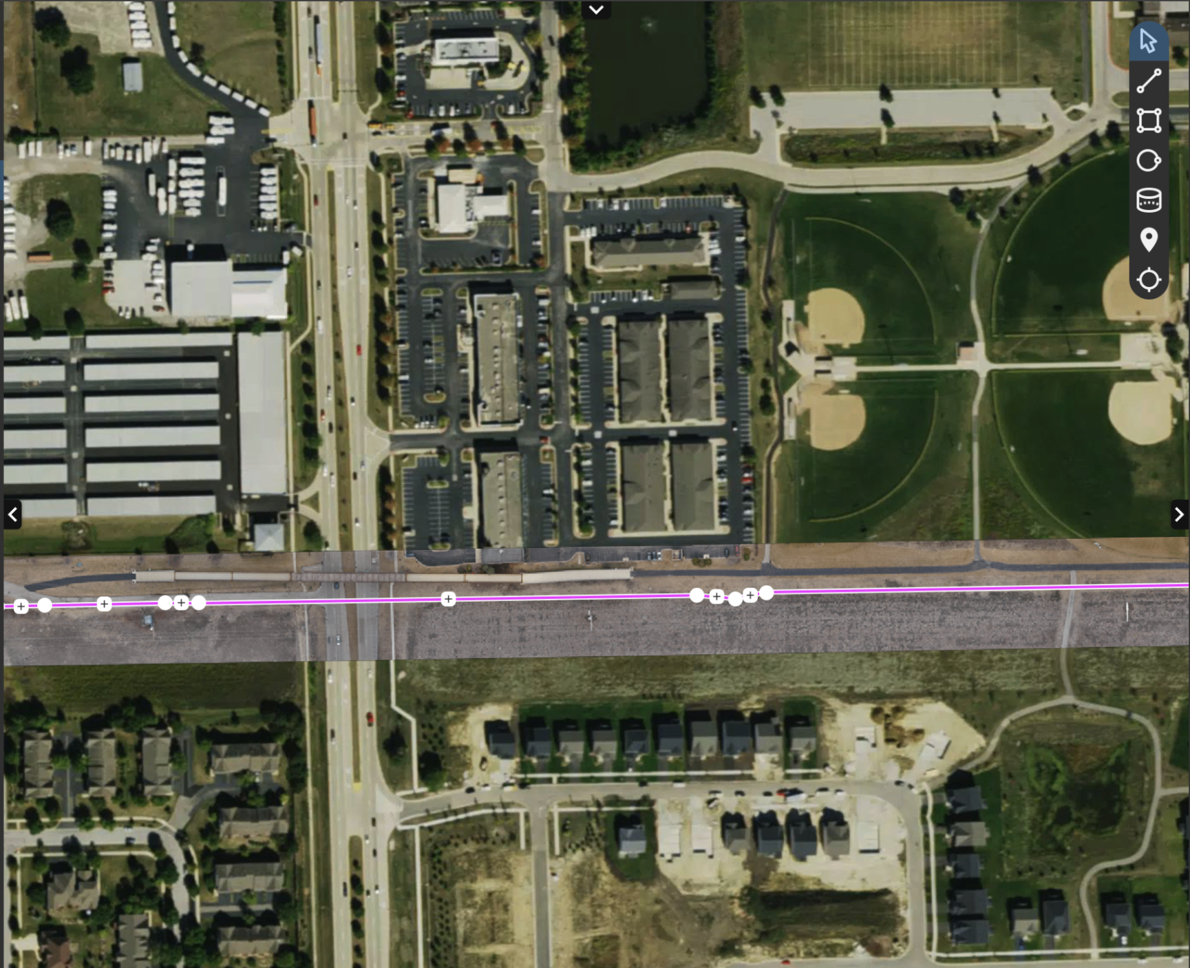
Raw sensor data refined into structured vector assets and terrain intelligence ready for direct import into your design workflow.
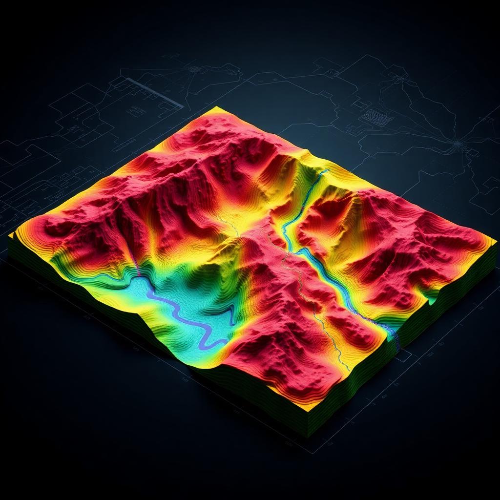
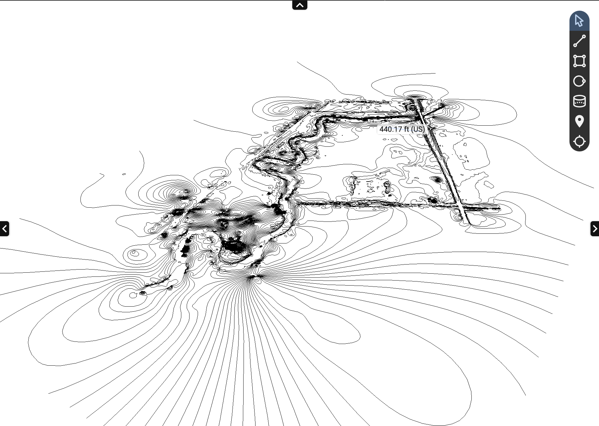
Transform complex terrain datasets into actionable engineering insight-elevation surfaces, drainage intelligence, and volumetric breakdowns.
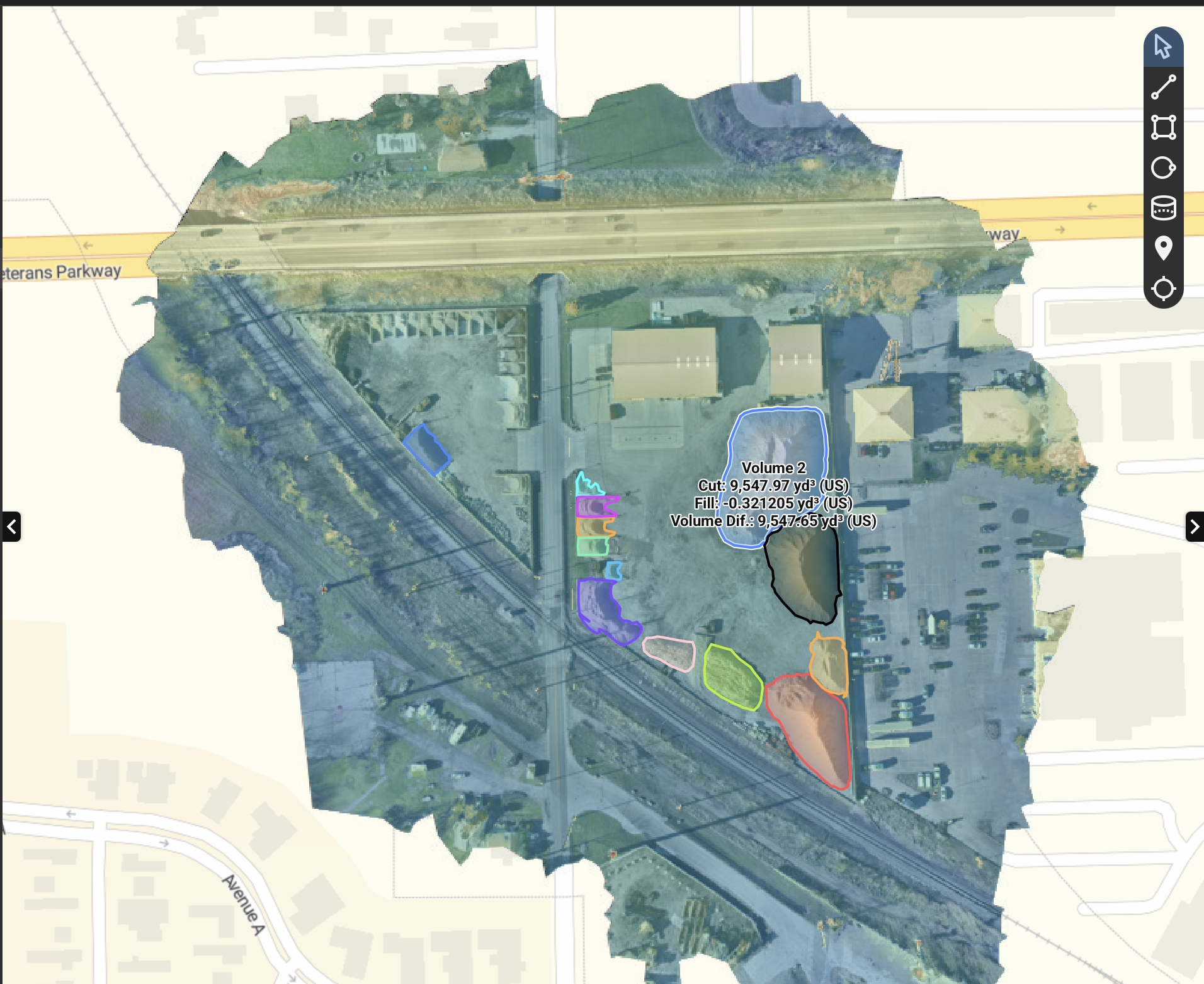
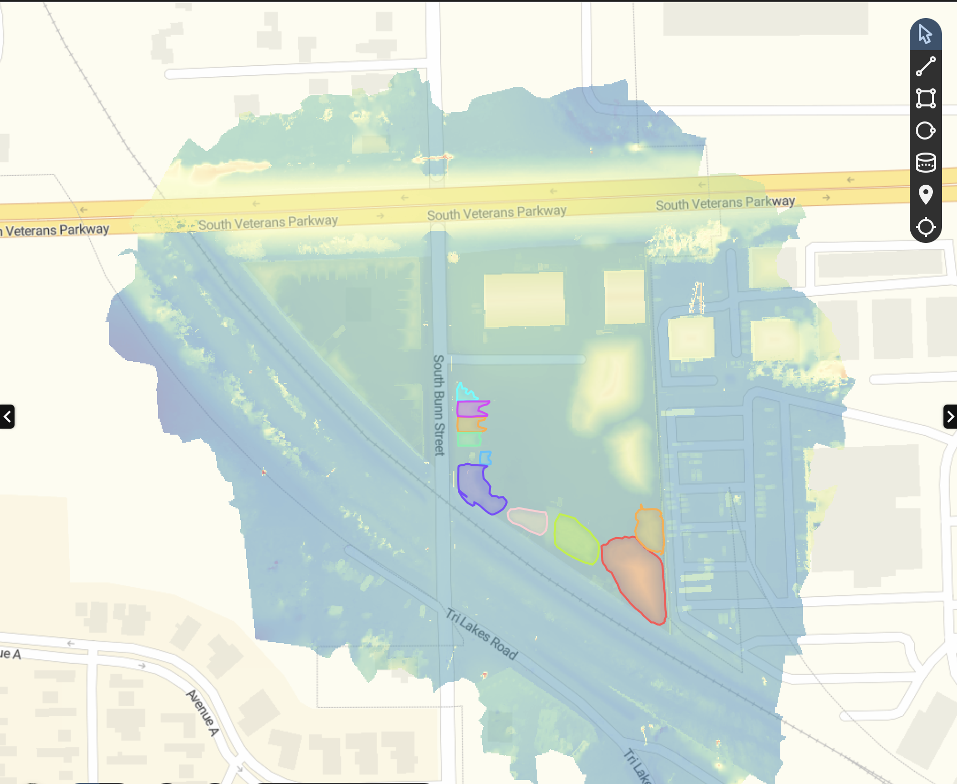
Quantify material movement with confidence-compare existing terrain to design surfaces and track progress across every construction phase.

Objective street condition scoring and capital planning forecasts that help municipalities defend infrastructure budgets with hard data.
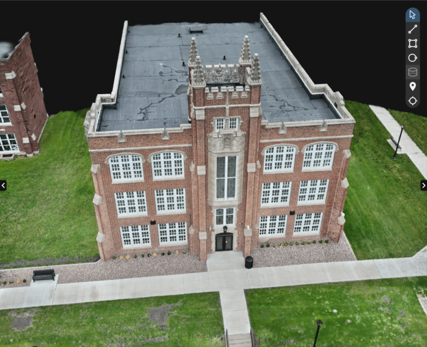
WingWorx Geospatial transforms accident scenes, crime scenes, and complex industrial sites into survey-grade 3D digital twins for investigation, expert review, and courtroom admissibility.
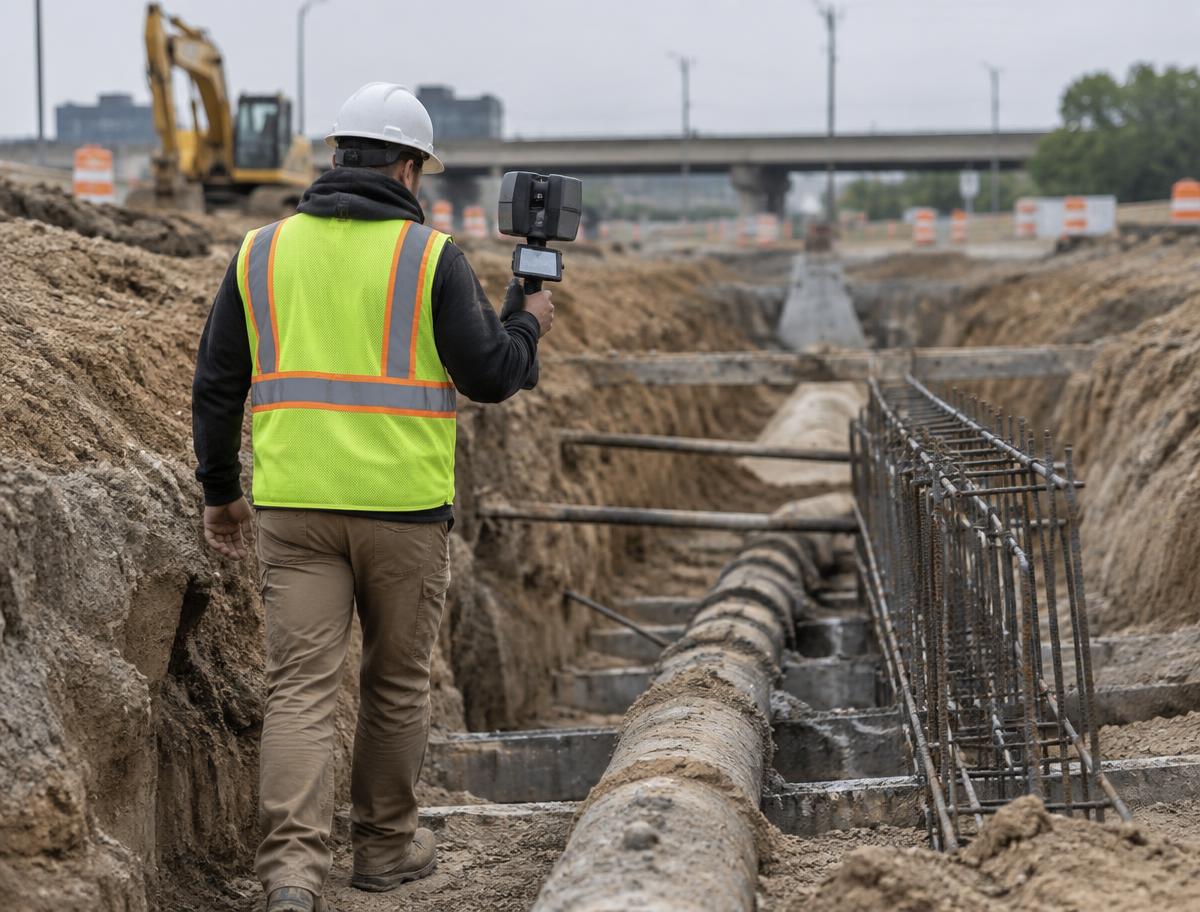
Ground-based 3D reality capture using RTK-enabled handheld scanning, integrated with aerial mapping for complete site documentation.
Send the site boundaries and the decision you are trying to make. We will recommend the right deliverable set for the job and quote it the same week, whether that is a single orthomosaic or a full LiDAR and ground-scanning package.
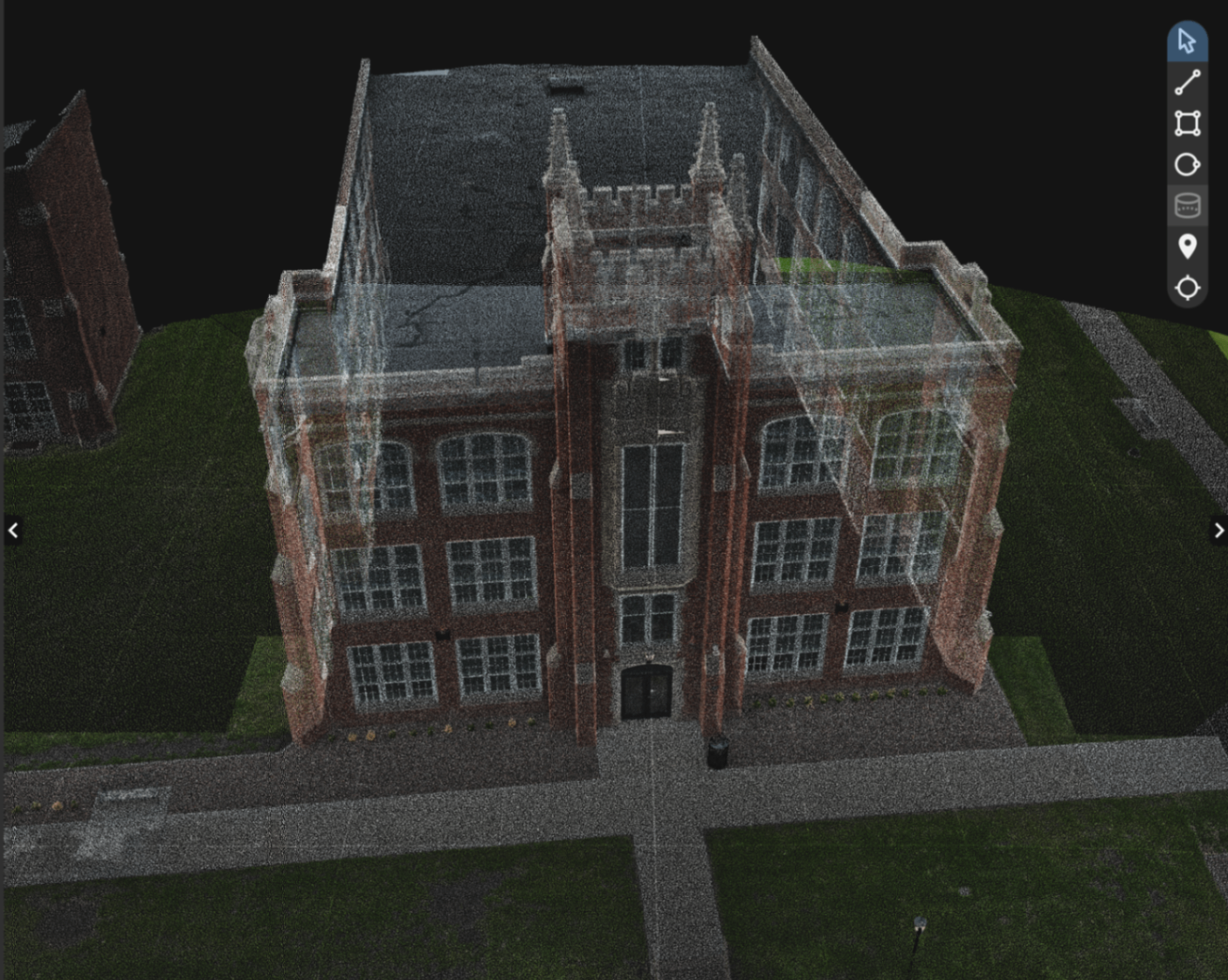
Every pixel is georeferenced. Every point in the cloud carries actionable metadata for infrastructure decision-making.
Civil engineering firms
General contractors
Municipal public works
Insurance & legal teams
Land developers
Utility & pipeline operators
One flight crew, one data pipeline, and deliverables that land in the software your team already works in.
Tell us about your project and our flight operations team will respond with a tailored proposal and timeline.
→ Typical response in 1 business day
→ Free initial scope review
→ NDA available on request